Mapping solutions as unique as your business
We are geospatial experts. We create custom software solutions to provide global context to complex operations.


What we do
With a decade of extensive experience developing geospatial software and solutions for some of the world’s largest organizations, the Sparkgeo team provides domain-specific software development and geoscience expertise, bridging capacity gaps and accelerating product development cycles for its clients.
Our Services

Consulting
We apply our deep knowledge of geospatial information and technologies to solve your technical and business challenges.

System Modernization
We migrate legacy technologies to the cloud using modern architecture, custom code and automated processes.

Platform Development
We deploy our geospatial design and development team to turn your ideas into client-focused, scalable products.

spatial analytics
We apply machine learning and artificial intelligence to your datasets, adding value through spatial context and providing a new perspective on your business.
custom projects
We create unique mapping products and web map solutions tailored to your goals and requirements.

prescient.earth lab
We create dedicated workflows to transform petabyte-scale data from remote sensors, IoT devices, third-party sources and internal datasets.
Who we are
Sparkgeo is a geospatial technology consultancy that drives innovation on a global scale.
With a hyper-focus on geospatial technology, our team collaborates with companies in all sectors, offering expertise not commonly found in-house. Our approach is to listen closely, be open to all technologies and platforms, and provide maximum value to our clients. We do this by providing our staff with high levels of independence, empowering them to think creatively and develop innovative solutions for your organization.
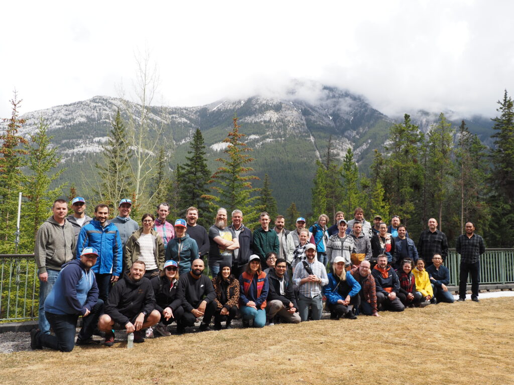
Sparkgeo Team

How we do it
The best tech companies know that the difference between success and failure is the people. At Sparkgeo, our people are our product. Leading organizations rely on the intellectual capital of our team members for ongoing insight, collaboration and support.
You don’t need to go it on your own. It’s impractical to try and accomplish everything alone. Companies across sectors ask us to participate in their growth by lending our geospatial expertise. These partnerships are mutually beneficial – we bring fresh and relevant expertise and share in the corresponding successes.
Our Partners
Mapbox
Mapbox serves a large and diverse set of clientele with varying technology requirements and sometimes limited implementation and software development capabilities.
AWS
Amazon Web Services provides its customers with on-demand cloud computing platforms and APIs for the scalable storage, distribution and processing of geospatial data.
Sparkgeo CEO